Stephen Reid’s Map of NQ residents and businesses


< Modern Maps Δ Maps


Drawn by Stephen Reid in 2024, This map shows the names of families and businesses around the village from about 1935.

Return to the page of Modern Maps of North Queensferry

Drag the map around to centre on a point of interest; zoom in using the zoom buttons.

X1 X1.5 X2 X3 X4
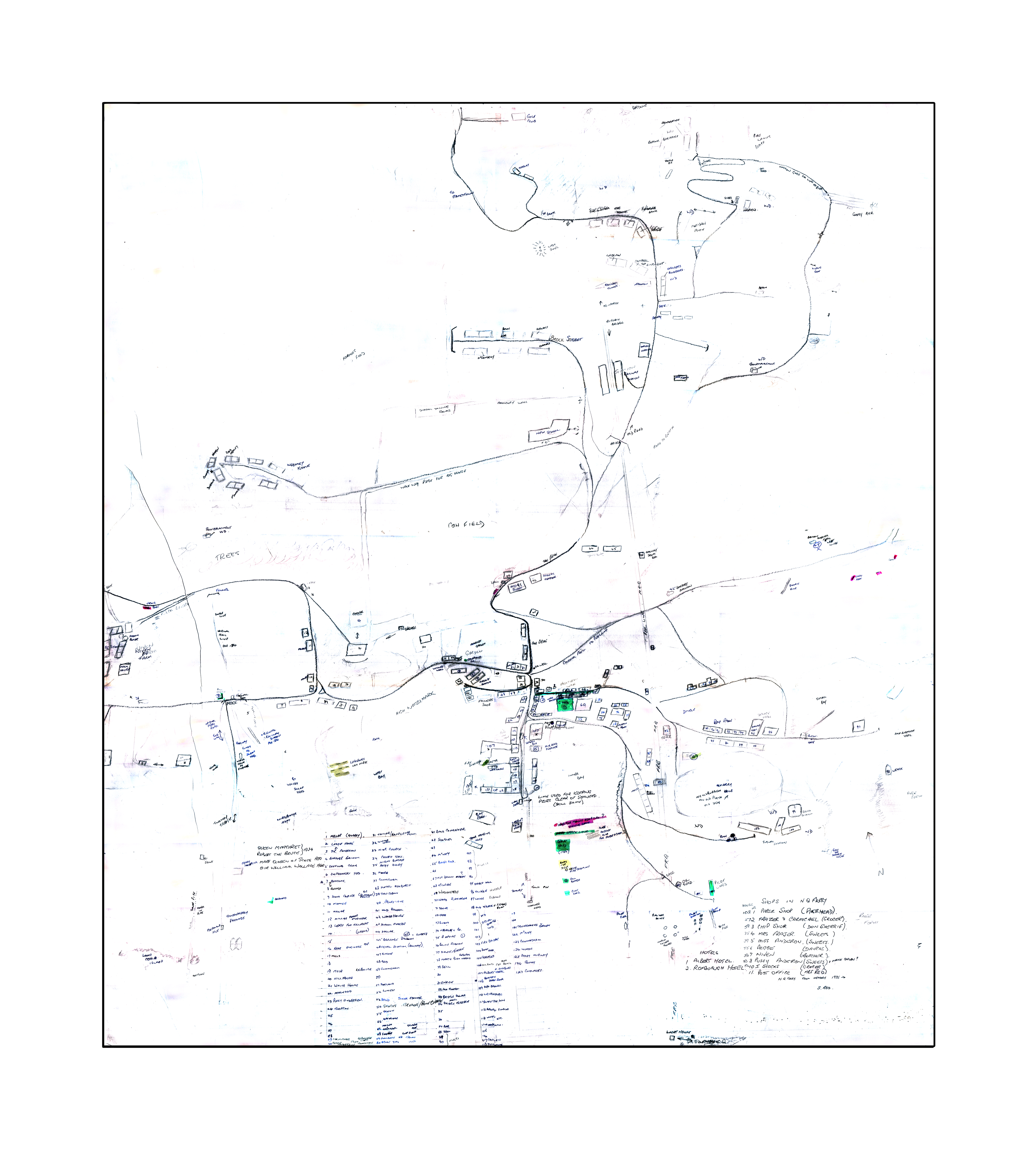
Stephen's Map of NQ Peninsula

Click on this text if your map turns blue.


< Modern Maps Δ Maps

NQHT has completely revised this website. We would like to know how the website is being used by counting the number of visits to each webpage. We are NOT gathering information about individuals!

Please select "Accept" if you are happy for us to use tracking cookies to count the number of visits to each page.

If you select "Decline", you can visit the NQHT website, but no data will be gathered, so we will have less accurate information about the value of the website :-(

Once you have made a choice, this message will disappear but will return every 30 days to allow you to verify your choice.