North Queensferry Place Names
| < Ordnance Survey Name Books | Δ Maps | Modern Maps > |
North Queensferry
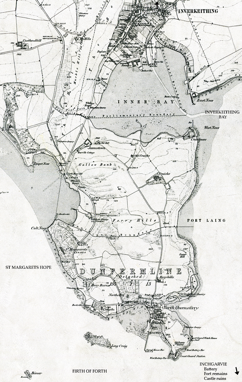
The North Queensferry Peninsula is divided by a boundary line running from Cult Ness on the West to Port Laing on the East. North of this line is part of the Parish of Inverkeithing, South of this line is part of the Parish of Dunfermline (detached).
You can page through view the relevant records in Volume 76
Individual Records
Or, you can click on any of the highlighted names on this map, to see the original record and a transcript.
| < Ordnance Survey Name Books | Δ Maps | Modern Maps > |